Product 01
Rapid-FS
Is this site worth a carbon project — before capital and promises leave the room.
Most prospects at the start have two things: area in hectares, and a coordinate or polygon. Rapid-FS overlays spatial layers and returns an Indicative Carbon Project Feasibility Score (ICPFS). Not lab precision. Speed is the product: score, carbon, cost, revenue, and risk — in a single sitting.
- A 0–100 score with clear feasibility bands.
- Shapefile or manual input. Nine overlay layers.
- Results save to the account. Ready for an internal review.
A feasibility estimate. Not a certified carbon credit.

Feasibility Score
Carbon Stock
Revenue Projection
Spatial Risk
Product 02
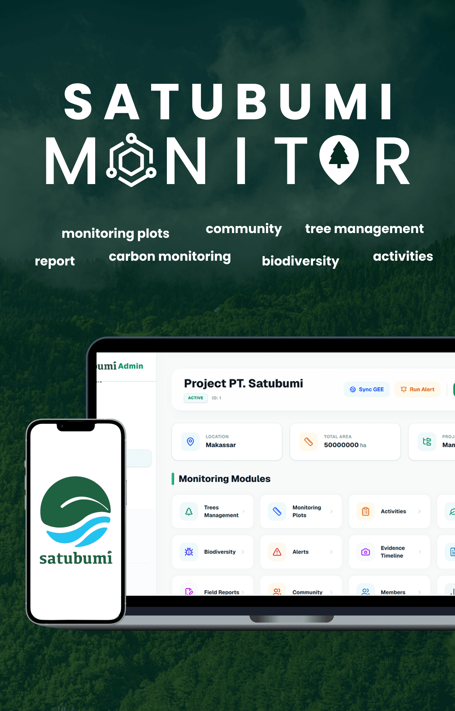
Satubumi Monitor
The project’s digital eye. Clients watch from afar.
Where, what, when, how much, progress — without flying to site. Officers enter data. Clients see condition.
Map first
Boundaries, plots, and planting points on one screen. Clients should not need to be GIS analysts.
Trees that still stand
Not just ‘planted’. Survival, growth, and condition as numbers a director can read.
Alerts, not guesswork
Low survival, overdue monitoring, site anomalies — the system taps you. The folder does not.
Field plus satellite
Officer notes meet spatial overlay. Two sources, one project.
A report for the board
A snapshot you can export. Carbon here is a monitoring estimate, not a credit.
A separate platform. Access per project, granted by SATUBUMI.